Ground Penetrating Radar (GPR)
Cutting into concrete — or into the ground — without knowing what's below it is a risk no project should take. Ground Penetrating Radar gives construction teams, engineers, and facility managers accurate subsurface information without excavation, core drilling, or guesswork. Alt & Witzig delivers GPR scanning services backed by the engineering expertise to interpret what the data actually means.
✓ VERIFIED

GPR Applications
Concrete Slab Scanning
Before core drilling, cutting, or penetrations through concrete slabs, GPR scanning identifies the location of reinforcing steel, post-tension tendons, conduits, and utilities embedded in the concrete. Non-destructive. No damage to structure. Clear, documented results before any work begins.
GPR Applications
Rebar Mapping & Cover Measurement
Rebar location, depth, and spacing verification for as-built documentation, structural assessment, and rehabilitation projects. Accurate cover measurements for corrosion assessment and anchor placement.

GPR Applications
Utility Locating & Subsurface Mapping
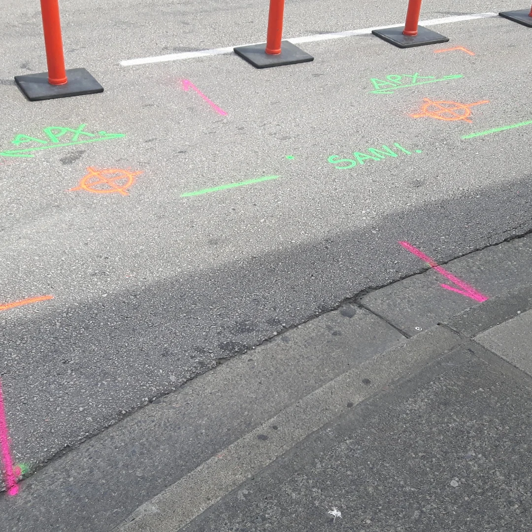
Private utility locating to supplement 811 public utility marking. GPR identifies buried pipes, conduits, tanks, and other subsurface features in areas where excavation would create conflict risks. Particularly valuable on active campuses, industrial sites, and urban infill projects with unknown subsurface history.
GPR Applications
Void Detection
Subsurface voids beneath slabs, pavements, and embankments are a failure risk that isn't visible until it's a problem. GPR scanning identifies void conditions before they cause surface failure — critical for industrial floors, parking structures, and infrastructure where undetected voids represent structural and operational risk.
GPR Applications
Pavement & Subsurface Layer Analysis
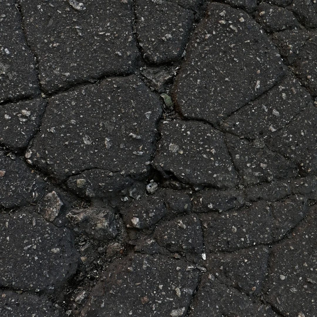
Layer thickness measurement and subsurface condition assessment for pavement systems. Useful for maintenance planning, rehabilitation design, and investigating distress conditions without extensive coring.
GPR with Engineering Interpretation
A GPR scan is only as useful as the analysis behind it. Alt & Witzig combines scanning capability with the geotechnical and structural engineering expertise to interpret findings accurately and communicate them clearly to the project team. We don't just generate a scan image — we tell you what it means and what to do about it.
For projects already engaged with Alt & Witzig for construction testing or geotechnical work, GPR can be integrated into the existing project scope — same team, same project manager, no additional vendor coordination.
For projects already engaged with Alt & Witzig for construction testing or geotechnical work, GPR can be integrated into the existing project scope — same team, same project manager, no additional vendor coordination.